Explore Afghan Desk
Places & landscapes
Mountains, gardens, rivers and monuments that reveal the depth of Afghanistan’s natural and built heritage.
Explore the landscape
This collection provides historical and geographical context. It is a cultural archive rather than a source of current travel advice.
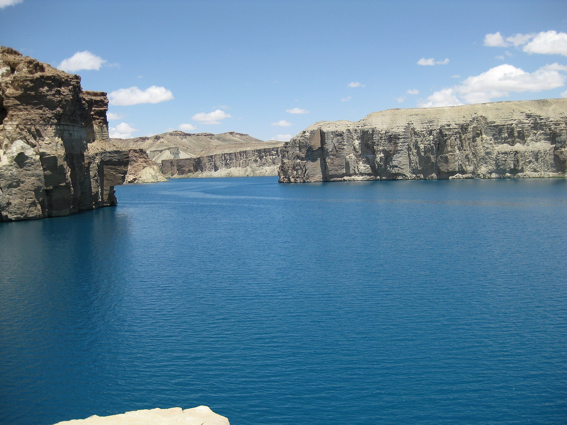
placesBand-e Amir
A chain of intensely blue lakes set among the pale cliffs of Afghanistan’s central highlands.
 places
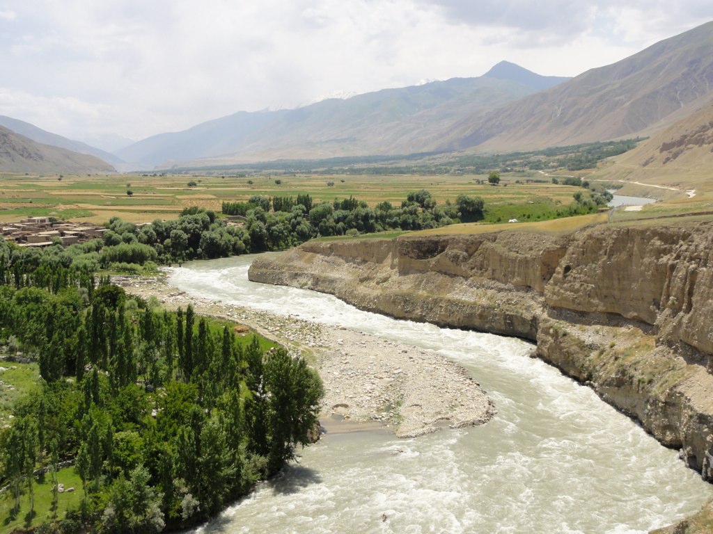
Kokcha River
A mountain river carrying snowmelt through Badakhshan’s steep valleys and settled river corridors.
 places
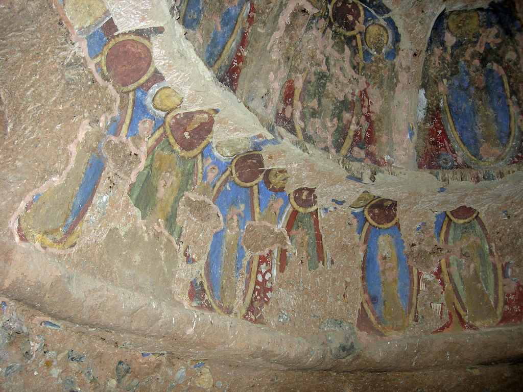
Bamyan Valley
A high valley shaped by Silk Road exchange, Buddhist heritage and the enduring communities of central Afghanistan.
 places
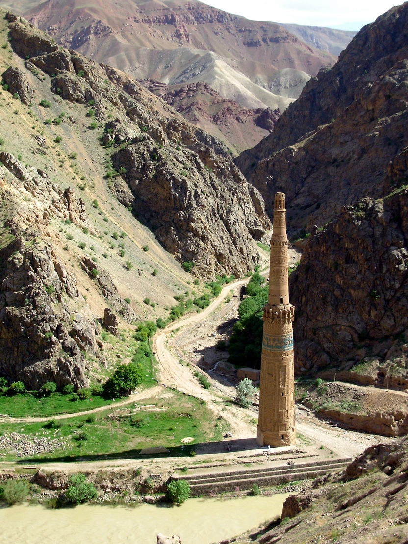
Minaret of Jam
A slender 12th-century brick tower rising from a remote river valley in central Afghanistan.
 places
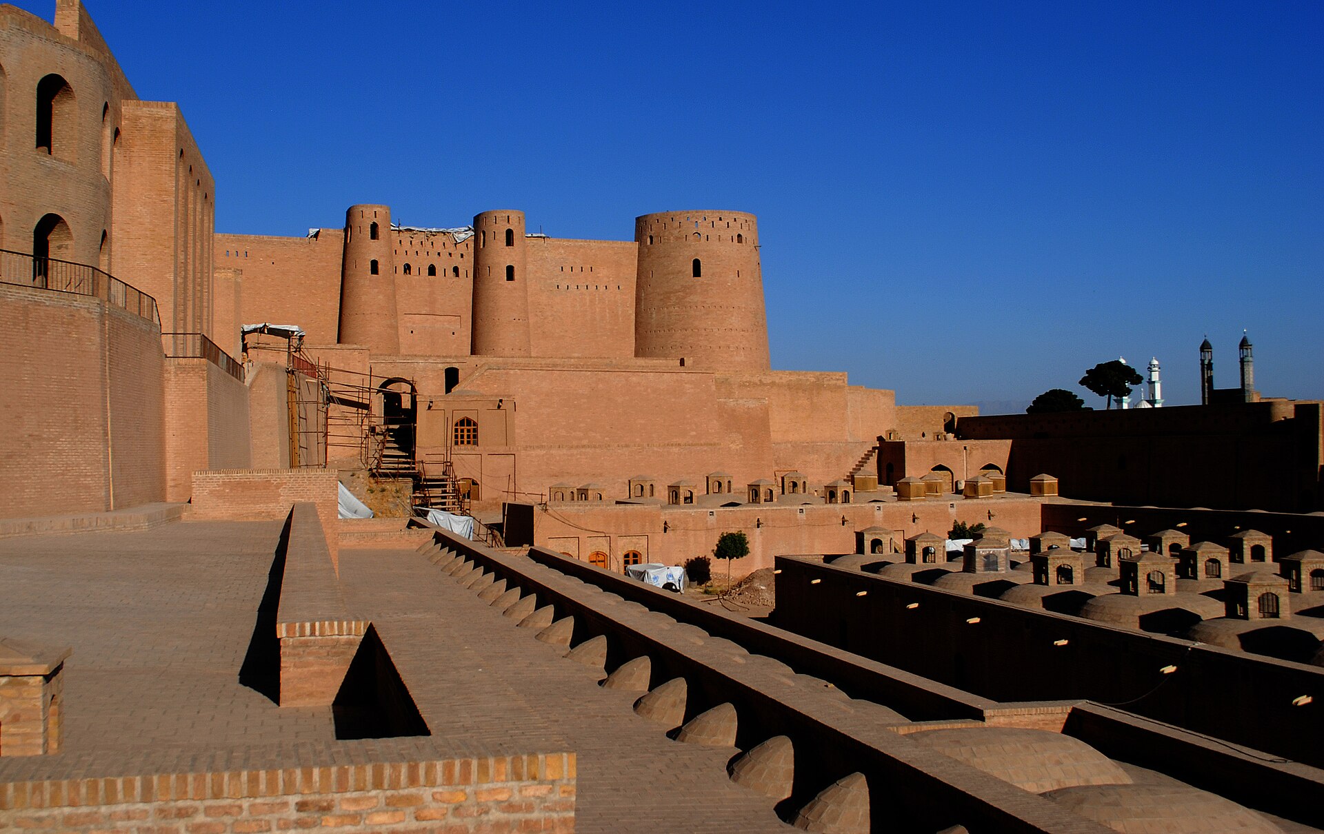
Citadel of Herat
A monumental fortress overlooking one of Afghanistan’s most important historic cities.
 places
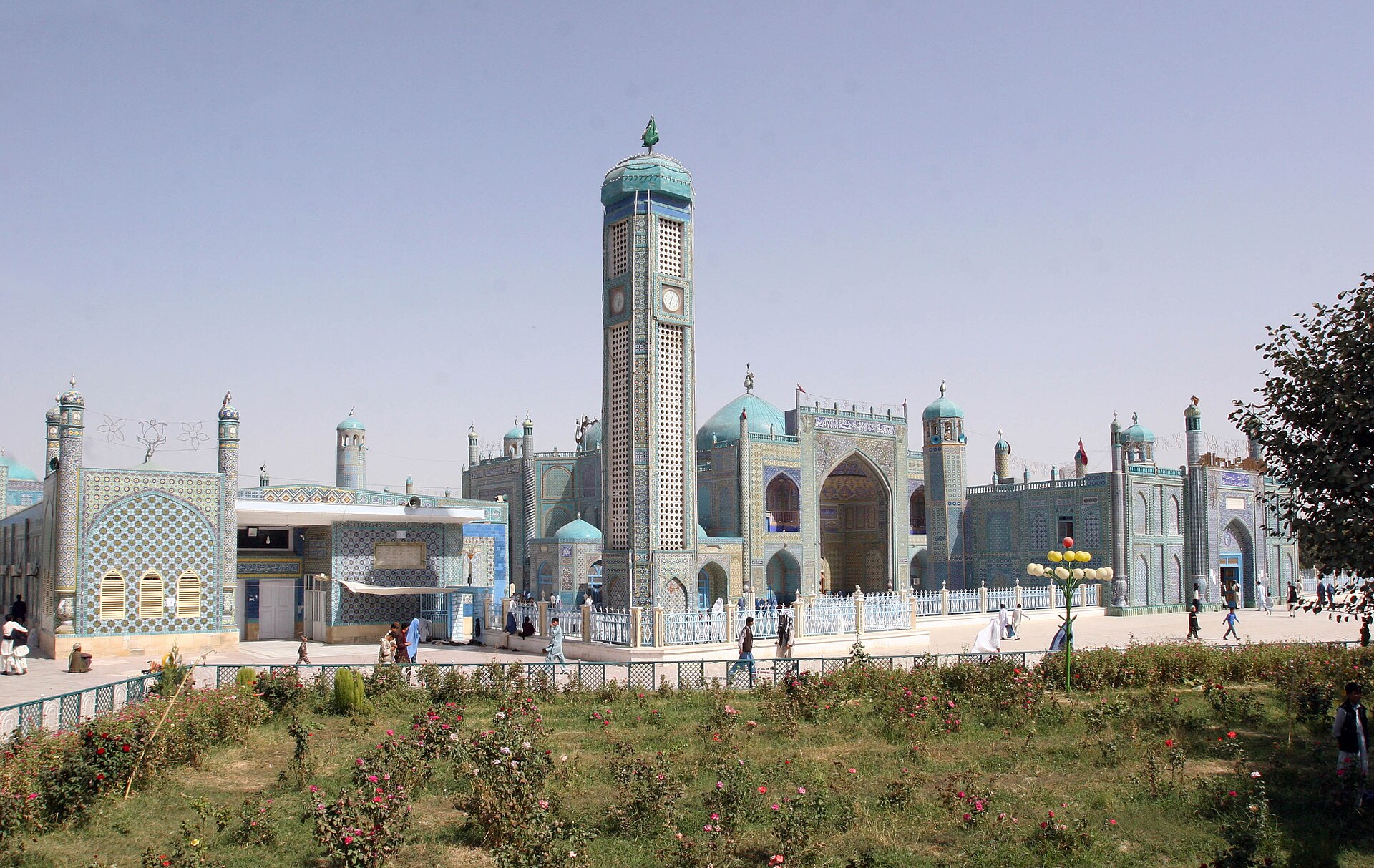
Mazar-e Sharif
A northern Afghan city centred on a celebrated blue-tiled shrine and the spring traditions of Nowruz.
 places
Gardens of Babur
A restored terraced garden overlooking Kabul and containing the grave of the first Mughal emperor.
 places
Bagh-e Bala
A hilltop palace and garden overlooking Kabul from the slopes above the city.
 places
Herat’s Musalla
The surviving minarets of a once-vast Timurid religious and educational complex.
 places
Mountain ranges of Afghanistan
An introduction to the high ridges, passes and valleys that shape Afghanistan’s geography.
 places
Geography of Afghanistan
Mountains, river basins, dry plains and fertile valleys at the meeting point of Central and South Asia.
 places
Maps of Afghanistan
A simple reference to Afghanistan’s national boundaries and provincial geography.
Reading the landscape
More than a collection of monuments
Afghanistan’s physical geography is dramatic, but a landscape is never empty. Rivers support irrigation and settlement; passes connect markets and families; gardens provide public space; sacred buildings remain places of worship. These articles introduce well-known sites while keeping the lives around them in view.
The Hindu Kush and central highlands divide drainage basins and create sharp changes in climate and access. Snow stored at elevation feeds rivers such as the Kokcha, Kabul and Helmand. Northern plains, western valleys and southwestern deserts add further variety. Seasonal water determines much of agriculture, while earthquakes, drought, floods and landslides are recurring realities rather than exceptional footnotes.
Layers of history
Bamyan’s Buddhist remains, Jam’s Ghurid minaret, Timurid Herat and Kabul’s historic gardens belong to different periods and communities. None should be used to flatten Afghanistan into one civilisational label. Buildings were adapted, damaged and repaired; traditions moved across borders; modern cities grew around old fabric. Where historians debate an attribution or local tradition differs from documentary evidence, the individual page explains that distinction.
Heritage belongs to living communities
Conservation is strongest when residents take part and benefit. Stabilising a wall matters, but so do safe access, water management, craft knowledge and respect for sacred use. Visitors should follow local rules, ask before photographing people, avoid removing objects and recognise that conditions can change quickly. Afghan Desk provides historical and geographical context, not travel advice or a statement that a location is currently accessible.
The collection uses both modern photographs and selected archive images. A small old photograph may remain when it documents the website’s history, but it is not evidence that a place still looks exactly the same. Dates, captions and reputable heritage records help readers separate documentation from nostalgia.
Explore Afghanistan’s recognised and proposed heritage sites through UNESCO’s Afghanistan profile.